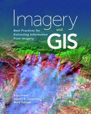
Książka Imagery and GIS Kass Green

Imagery and GIS

Best Practices for Extracting Information from Imagery

Język: Angielski
Oprawa: Miękka
Wydawca: ESRI Press
Dostępność: Dostępna u dostawcy
Wysyłamy za 10-18 dni
456.88
Today, most maps include imagery in the form of aerial photos, satellite images, thermal images, dig...

Informacje o książce

Język
Angielski
Oprawa
Książka - Miękka
Data wydania
2017
strony
418
EAN
9781589484542
ISBN
1589484541
Enbook ID
14224732
Wydawca
Waga
1178
Wymiary
203 x 254 x 30

Pełny opis

Today, most maps include imagery in the form of aerial photos, satellite images, thermal images, digital elevation models, and scanned maps. Imagery and GIS: Best Practices for Extracting Information from Imagery shows how imagery can be integrated successfully into GIS maps and analysis.

Możesz być zainteresowany

GIS for Science

Dawn J. Wright
175.10

Thematic Mapping

Kenneth Field
243.83

Our Babies, Ourselves

Meredith F Small
78.72
199.22

Forgive the Messenger

Antonio Martello
56.85
89.70
44.99

Harry Truman

Adam West
16.56
639.04
94.60
337.26
303.73

Red Lotus

Pai Kit Fai
123.23

Believing Again

Roger Lundin
101.86

Mannequins' Ball

Daniel Gerould
865.82

STACS 92

Alain Finkel
426.48
62.25

Klienci, którzy kupili tę książkę, kupili również

49.60

Cisárska Čína

neuvedený autor
147.55