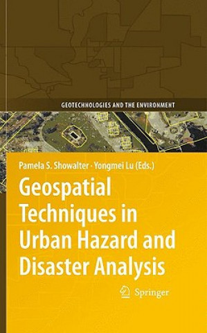
Książka Geospatial Techniques in Urban Hazard and Disaster Analysis Pam Showalter

Geospatial Techniques in Urban Hazard and Disaster Analysis

Język: Angielski
Oprawa: Twarda
Wydawca: Springer
Dostępność: Dostępna u dostawcy
Wysyłamy za 10-13 dni
650.52
This book examines how Geographic Information Technologies (GIT) are being implemented to improve ou...


Informacje o książce

Język
Angielski
Oprawa
Książka - Twarda
Data wydania
2009
strony
452
EAN
9789048122370
ISBN
9048122376
Enbook ID
01972640
Wydawca
Waga
1069
Wymiary
155 x 235 x 29

Pełny opis

This book examines how Geographic Information Technologies (GIT) are being implemented to improve our understanding of a variety of hazard and disaster situations. The volume is a compilation of recent research using Geographic Information Systems (GIS), Remote Sensing (RS) and other technologies such as Global Positioning Systems (GPS) to examine urban hazard and disaster issues. The goal is to improve and advance the use of such technologies during four classic phases of hazard and disaster research: response, recovery, preparation and mitigation. The focus is on urban areas, broadly defined in order to encompass rapidly growing and densely populated areas.§The material presented is multidisciplinary, with contributions from scholars in Africa, Asia, Europe, Latin America and North America, and is presented in five key sections: §sea level rise and flood analysis§earthquakes and tsunamis and international applications§hurricane response/recovery §metropolitan case studies§evacuation studies §This volume contributes to our understanding of extreme events in urban environments with the use of GIT and expanding its role at the local, regional, state and federal levels. The book is a valuable reference for academic researchers and professionals and practitioners working in hazard management and mitigation.This book examines how Geographic Information Technologies (GIT) are being implemented to improve our understanding of a variety of hazard and disaster situations. The volume is a compilation of recent research using Geographic Information Systems (GIS), Remote Sensing (RS) and other technologies such as Global Positioning Systems (GPS) to examine urban hazard and disaster issues. The goal is to improve and advance the use of such technologies during four classic phases of hazard and disaster research: response, recovery, preparation and mitigation. The focus is on urban areas, broadly defined in order to encompass rapidly growing and densely populated areas.§The material presented is multidisciplinary, with contributions from scholars in Africa, Asia, Europe, Latin America and North America, and is presented in five key sections: §sea level rise and flood analysis§earthquakes and tsunamis and international applications§hurricane response/recovery §metropolitan case studies§evacuation studies §This volume contributes to our understanding of extreme events in urban environments with the use of GIT and expanding its role at the local, regional, state and federal levels. The book is a valuable reference for academic researchers and professionals and practitioners working in hazard management and mitigation.

Możesz być zainteresowany

"Wuthering Heights"

April De Angelis
66.86
961.31
1 233.18
66.56

High Rise Society

Robin Hutcheon
131.13

TPM Reloaded

Joel Levitt
270.86

The Food Lab

J. Kenji Lopez-Alt
159.18
45.80
999.24
71.75

Fabliaux

Nathaniel E trans Dubin
103.69

Klienci, którzy kupili tę książkę, kupili również

Meine Welt in Ton

Monika Krumbach
71.45
35.52
23.34

Kaordre

Marc Laine
105.88