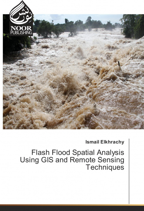
Flash Flood Spatial Analysis Using GIS and Remote Sensing Techniques
Autor:
Ismail Elkhrachy

Dostępność:
Dostępna u dostawcy
Wysyłamy za 5-8 dni
132.54
zł
The "Flash Flood Spatial Analysis Using GIS and Remote Sensing Techniques" is a readable text that p...