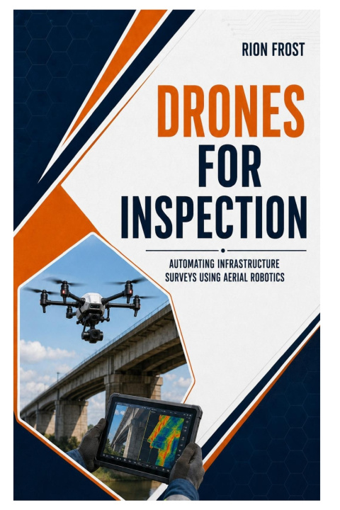
Checking bridges, roofs, towers, pipelines, and large industrial sites can be slow, expensive, and difficult. Some locations are hard to reach, while others expose workers to unnecessary risk.
Drones for Inspection shows you how to collect useful visual and geospatial information from the air and turn it into clear reports that support maintenance and repair decisions.
Inside, you'll learn how to:
• Plan safe and repeatable missions
• Choose suitable aircraft, cameras, and sensors
• Capture consistent photographs, video, and thermal imagery
• Examine bridges, buildings, power lines, towers, pipelines, and renewable-energy sites
• Create maps, models, and organized visual records
• Identify cracks, corrosion, heat loss, damaged components, and other warning signs
• Compare conditions across multiple visits
• Organize files and document findings clearly
• Coordinate pilots, engineers, maintenance teams, and clients
• Reduce missed details through structured checklists and reporting methods
The explanations are clear, practical, and focused on real fieldwork. You won't simply learn how to fly around an asset. You'll understand what information to collect, how to collect it consistently, and how to present it so decision-makers can act on it.
Whether you're a remote pilot, engineer, technician, contractor, student, or asset manager, this guide will help you develop a dependable process for assessing difficult locations while reducing cost, time, and unnecessary exposure to hazards.
Move beyond basic photography and begin producing information that helps teams understand asset condition, prioritize maintenance, and plan the next step with confidence.