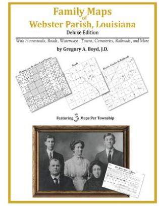
252 pages with 68 total maps Locating original landowners in maps has never been an easy task-until now. This volume in the Family Maps series contains newly created maps of original landowners (patent maps) in what is now Webster Parish, Louisiana, gleaned from the indexes of the U.S. Bureau of Land Management. But it offers much more than that. For each township in the county, there are two additional maps accompanying the patent map: a road map and a map showing waterways, railroads, and both modern and many historical city-centers and cemeteries. Included are indexes to help you locate what you are looking for, whether you know a person's name, a last name, a place-name, or a cemetery. The combination of maps and indexes are designed to aid researchers of American history or genealogy to explore frontier neighborhoods, examine family migrations, locate hard-to-find cemeteries and towns, as well as locate land based on legal descriptions found in old documents or deeds. The patent-maps are essentially plat maps but instead of depicting owners for a particular year, these maps show original landowners, no matter when the transfer from the federal government was completed. Dates of patents typically begin near the time of statehood and run into the early 1900s. What's Mapped in this book (that you'll not likely find elsewhere) . . . 3499 Parcels of Land (with original landowner names and patent-dates labeled in the relevant map) 64 Cemeteries plus . . . Roads, and existing Rivers, Creeks, Streams, Railroads, and Small-towns (including some historical), etc. What YEARS are these maps for? Here are the counts for parcels of land mapped, by the decade in which the corresponding land patents were issued: DecadeParcel-count 1830s137 1840s364 1850s1255 1860s838 1870s56 1880s228 1890s226 1900s228 1910s134 1920s33 What Cities and Towns are in Webster Parish, Louisiana (and in this book)? B and S Park Subdivision, Baccus, Buckhorn (historical), Bunker, Clifford, Connells (historical), Cotton Valley, Couchwood, Cullen, Dayson, Dixie Inn, Dorcheat, Doyline, Dubberly, East Side Subdivision, Ecco, Germantown, Gifford, Gilark, Goodwill, Grim, Grove, Heflin, Hortman, Invincible, Lakewood Estates, Leton, Long Springs, Martin Junction, McIntyre, Meadow Creek Ranch, Meadow Creek Subdivision, Midway, Minden, Nine Forks, Noles Landing, North Acres, Old Shongaloo, Overton (historical), Pace, Pine Hill Subdivision, Placid (historical), Plum Orchard Landing, Port Boliver, Porterville, Robin Hood Subdivision, Sarepta, Shongaloo, Sibley, Springhill, Swift, Timothy (historical), Treat, White Way Subdivision, Woodlawn, Yellow Pine